Geographical census of Tibet completed


Researchers have completed the first comprehensive survey of the geographical conditions in the Tibet autonomous region.
The study, which took more than three years, shows the overall situation and includes data on natural tourism resources, such as nature reserves, tourist attractions, wetland parks and rivers.
“Understanding geographic conditions is significant for mapping out policies,” Liang Jianping, director of land and resources for Tibet, said on Wednesday.
“At present, such data are used in many ways, such as in poverty alleviation, disaster prevention and relief, major project construction, and the campaign against illegal land use,” he said.
Liang said the regional government will actively seek to share, promote and apply the findings.
“The further development of tourism in Tibet, as well as many other industries, can benefit a lot from this census,” added Chen Xinhu, the deputy director of land and resources.
To get the most from the data, Chen said the government will establish a data-sharing mechanism and information services platform, as well as cooperate with other departments to provide customized services to companies and institutions.


- Beijing accelerates renovation of old residential buildings
- Guangzhou optimizes rail services for 15th National Games, Paralympics
- New sci-tech innovation platforms launched in Xinjiang
- Thai students document Wuhan life in photo contest
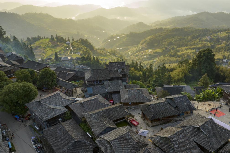
- Basha Miao village glows in early winter's embrace
- Fengxian achieves leapfrog economic growth through new drivers